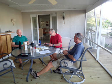
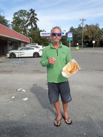
He talked about the storms and heat and the nice lady who nearly insisted on calling an ambulance for him. He shared survival tips, like, if you can't get to sleep, you're not tired enough.
He lent guide books and told the guys where they might best employ a fully-rested daylight reconnoiter to save trouble later. Such as the bypass for the Class III whitewater rapids of Big Shoals. They took notes and planned accordingly.
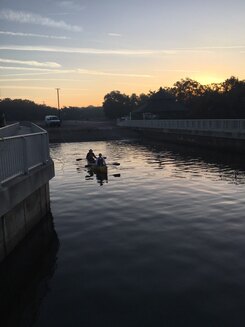
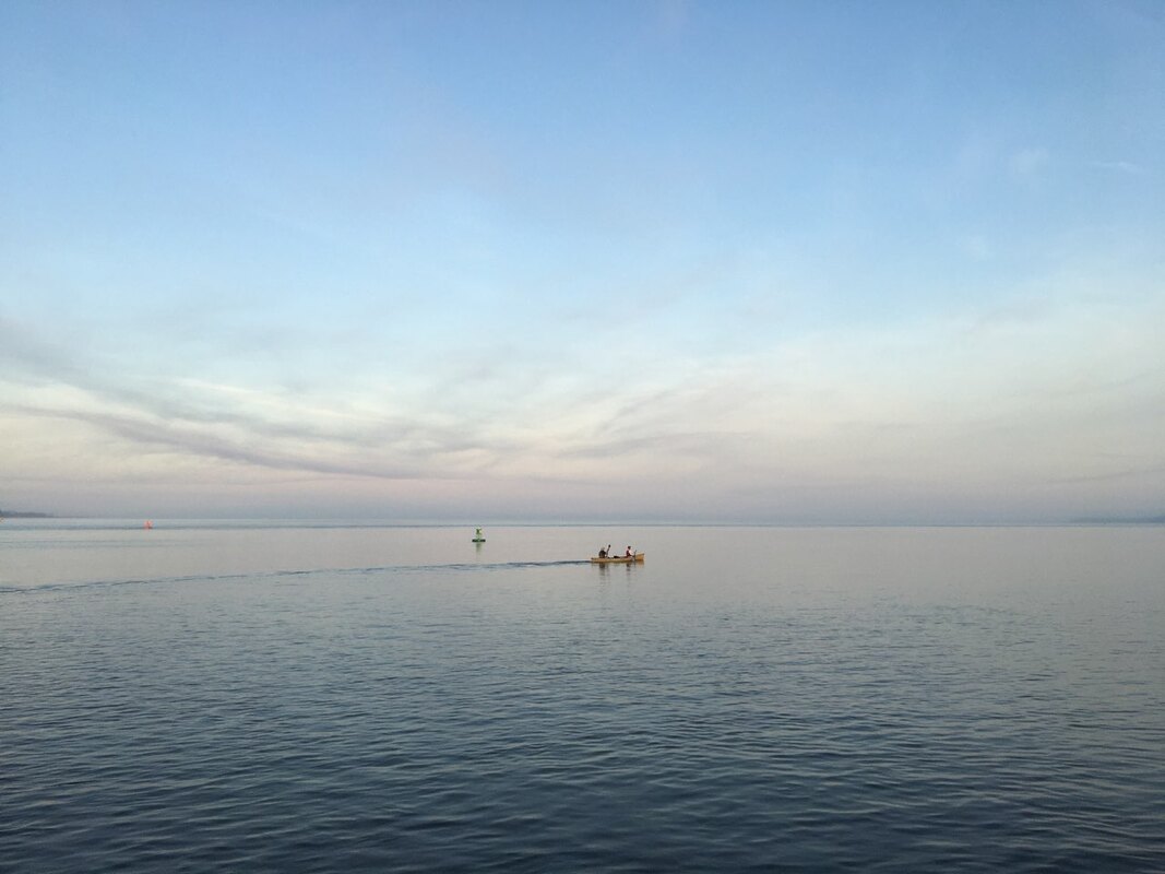
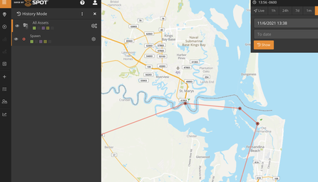
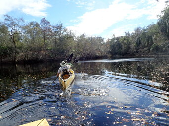
The scouting adventure started in the pre-dawn hours, when I dropped the fellas off at the Fort Clinch boat ramp. They headed upstream (pushed on a flooding tide) toward the Georgia border.
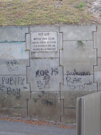
Our planned rendezvous was a little boat-access beach at the Route 17 overpass –– an isolated and frankly sketchy location about 19 nautical miles* away. What is it about waterfront parks that leads to so much graffiti, used condoms, and empty beer containers? Rhetorical question. Discretion being the better part of valor, I betook myself to a cozy coffee shop and hitched up my trusty interwebs machine. All the better to track their progress.
After crisscrossing the Florida-Georgia line an estimated 294 times, we achieved St. George, Georgia. This tiny town is the southernmost named settlement of Georgia and has the happy privilege of marking the start of the Ultimate Florida Challenge's 40 mile portage.
So each time I spell "40 mile portage," it seems like a) a typo, or b) an episode of Alone, wherein our heroes must carry their barque through the woods. Even to me.
But nope. It's c) a roadside slog on a country highway frequented (but not too frequently frequented) by logging trucks.
At the end of the forty miles (37 miles? Who the hell's counting?), one reaches the auspicious village of Fargo, Georgia, population 321 (as of 2010), home of the Stephen C. Foster State Park.
Which is where, naturally, you can get down (way down) upon the Suwannee River.
Sooookay, back to the actual Suwannee river and those –– who knew?! –– a Class III rapids. Big Shoals, by name, visible on satellite maps, and, I am relieved to report, avoidable by a 150-or-so-yard portage to skip the worst of the whitewater (and rocks).
The guys took off from Big Shoals State Park a mile or so upstream of Big Shoals and came ashore seven or so nautical miles* downriver at White Shoals, Florida after walking AROUND the alarming rocks.
They did locate several pieces of landscape in the lesser whitewater of Little Shoals, and the newly named (more anon!) canoe bears a minor scar or two.
Team Spawn gathered enough intel to keep the two sailors chattering all the way back to Jacksonville. Not the least important bit was what culinary delights await them at the distal point of the 40 mile portage...
*Why nautical miles? A nautical mile is first and foremost a minute of latitude. And even though our team is almost never going to go 1.5 land miles without a change in longitude, it's navigational tradition.
5 Comments
ed salva
12/7/2021 08:52:14 pm
fun read
Reply
Amy
12/8/2021 07:40:09 am
Thanks Ed!
Reply
greg duncan
12/7/2021 10:39:02 pm
wow! i did a google tour of the north route. WoW! that's going to be a trip. This I will have to follow. Makes my winter boat trips look soooo nice.
Reply
Amy
12/8/2021 07:40:51 am
Yup!
Reply
Mike
12/8/2021 10:28:28 am
HolyCow WooHoo. Leave a Reply. |
About the Blog
A lot of ground gets covered on this blog -- from sailboat racing to book suggestions to plain old piffle. FollowTrying to keep track? Follow me on Facebook or Twitter or if you use an aggregator, click the RSS option below.
Old school? Sign up for the newsletter and I'll shoot you a short e-mail when there's something new.
Archives
June 2024
Categories
All
|

 RSS Feed
